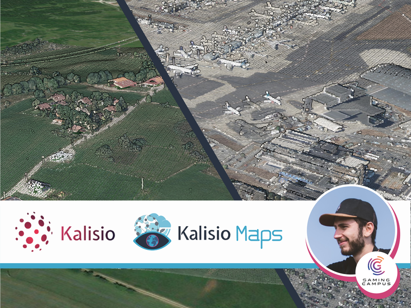
Kalisio is delighted to welcome Floran to its team for a 2-year apprenticeship. Floran is training to become a video game developer and real-time 3D renderer at the Gaming Campus in Lyon. As you can imagine, Floran will be working on improving 3D visualization functionalities... … Bienvenue à Floran CARVALHO !
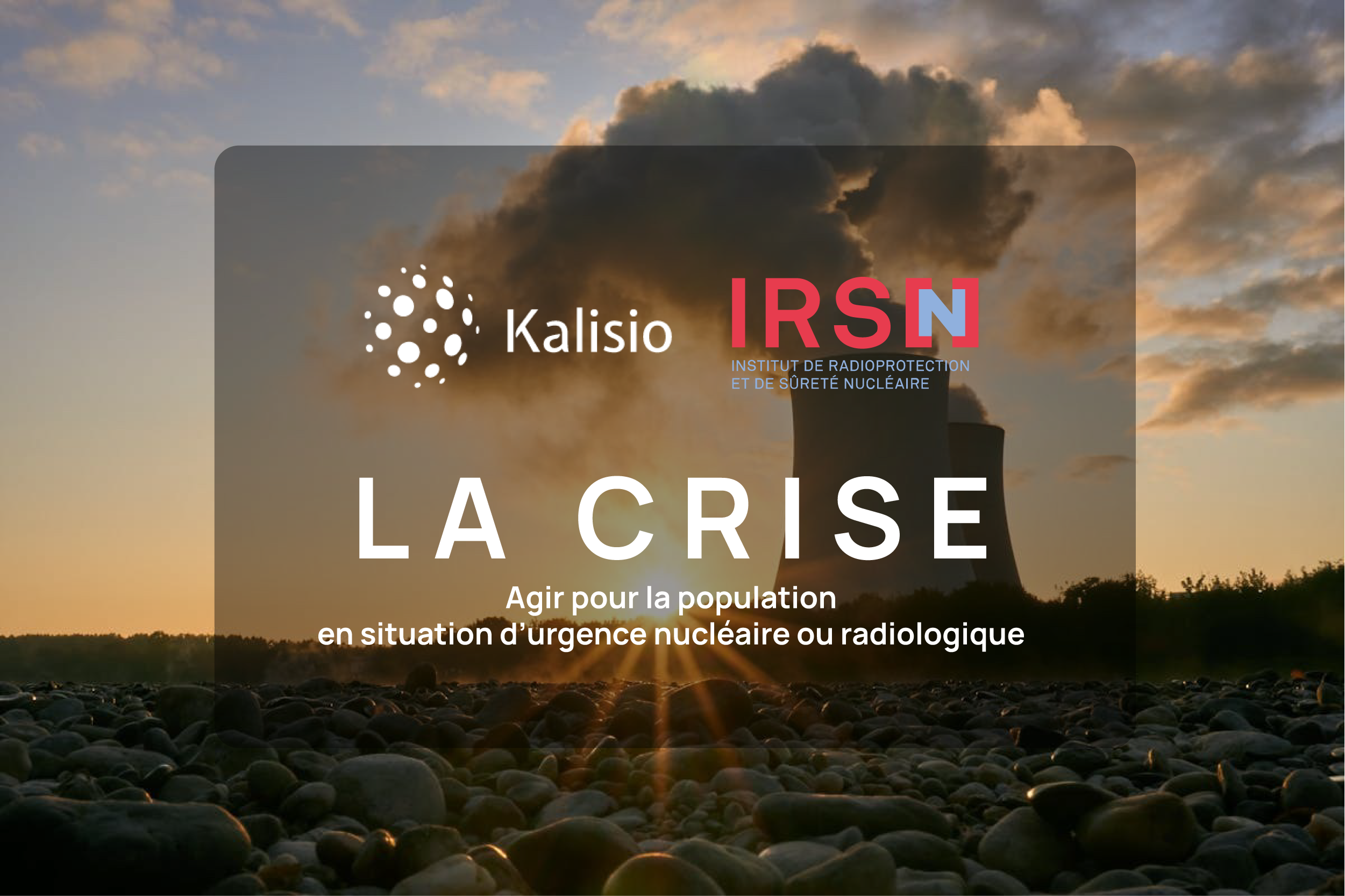
KALISIO wins IRSN's WEB SESUC TMA contract! We are proud to announce that IRSN (Institut of Radioprotection and Nuclear Security) has selected KALISIO for the evolutionary and corrective maintenance of the WEB applications used at the Centre Technique de Crise (CTC) and by the experts of BMCA (Office for modeling environmental transfers to study the consequences of accidents)... … Kalisio remporte la TMA WEB SESUC de l’IRSN !
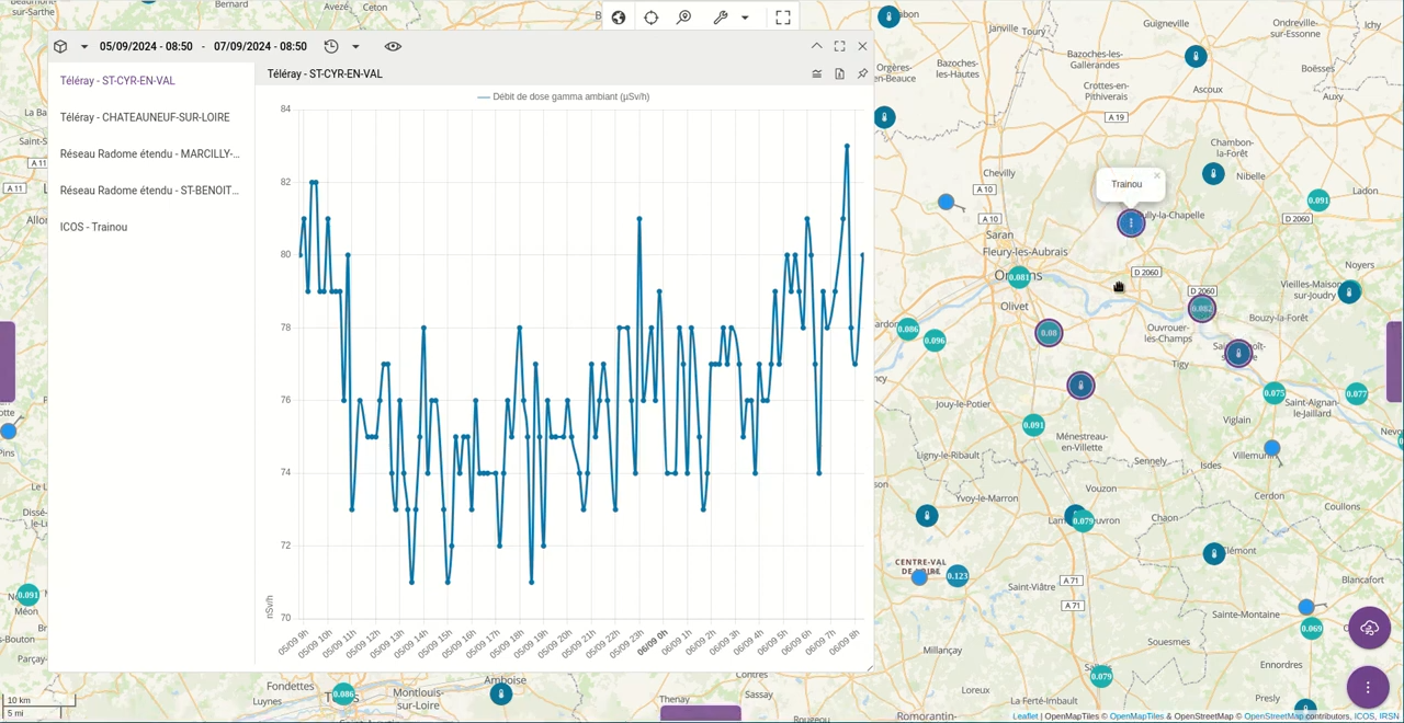
The application already supported a wide variety of geolocalized data. These data represented probes measuring meteorological elements (temperature, precipitation, wind, etc.) or atmospheric elements (radon, CO2, dose rate, etc.). The application enabled them to be spatially correlated... … Du nouveau pour les séries temporelles dans Kalisio Maps !
 Kalisio is delighted to welcome

 As you can imagine, Floran will be working on improving the 3D visualization features in Kalisio Maps!
 KALISIO wins the IRSN TMA WEB SESUC!

 It reinforces our determination to provide all our know-how to support the CTC and BMCA teams in their critical missions.
 Kalisio Maps improves time series management!
