Application de visualisation de données géographiques.
Application de visualisation de données géographiques.
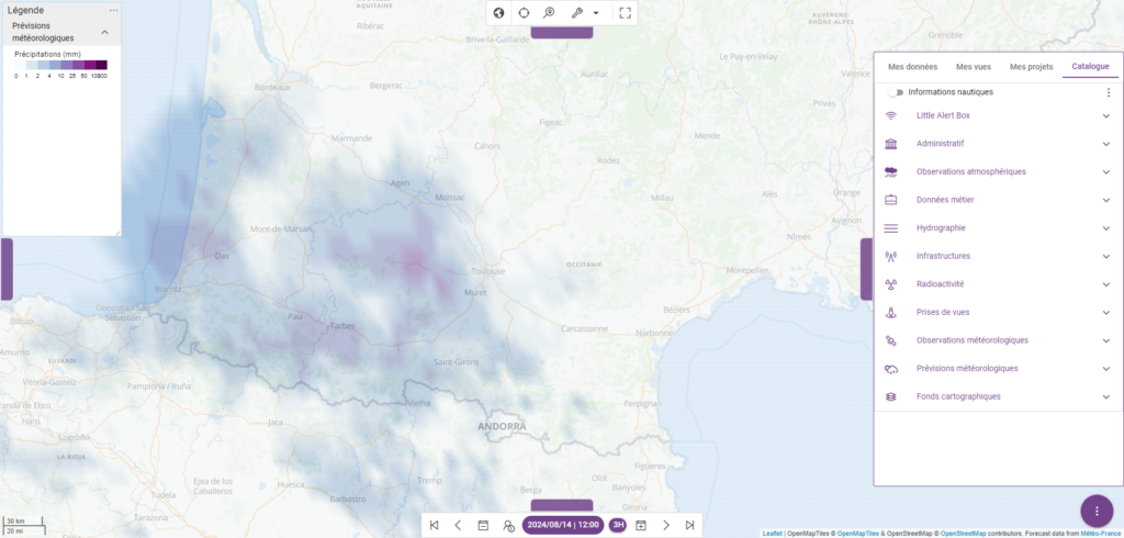
Kalisio Maps (formerly Kano) is a powerful data visualization module, supporting multiple 2D and 3D map layers and backgrounds.
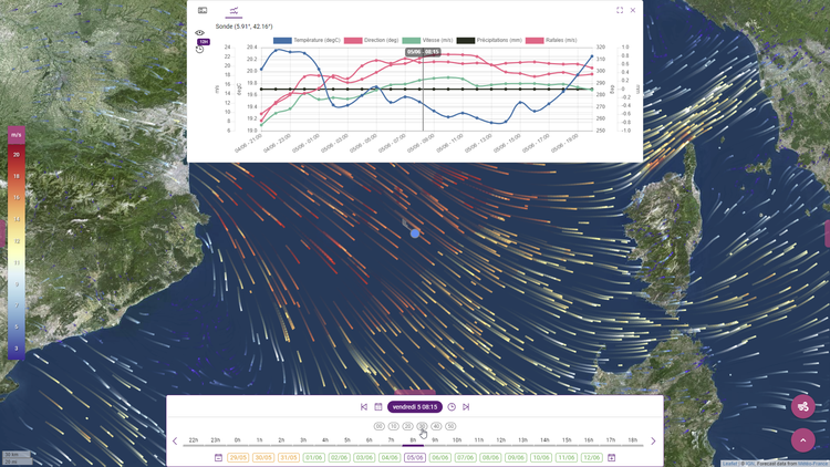
Il prend en charge une grande variété de données géolocalisées, mesurées and météorologiques évoluant dans le temps: sondes de mesure, éléments météorologiques (température, précipitations, vent, courants marins…), véhicules, personnes, etc.
Finally, make the most of your different data sets and compare them in a specific context, thanks to this modular and adaptable tool for any environment.
Kalisio Maps is an integral part of Kalisio Crisis, and part of Kalisio's new service offering.
The Airbus and IRSN teams are fully satisfied with their daily use of Kalisio Maps.